The 2021 northwestern part of Chiba Prefecture Earthquake of October 7, 2021
Uploaded on October 11, 2021
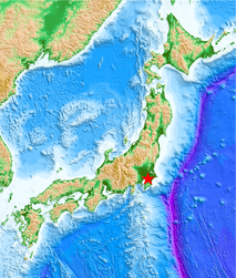
Event
- Event time: 2021-10-07 22:41:23.0 (JST, JMA), 2021-10-07 13:41:24.5 (UTC, USGS)
- Location: 35.590°N, 140.103°E (JMA), 35.577°N, 140.070°E (USGS)
- Depth: 75km (JMA), 62km (USGS)
- Magnitude: Mj5.9 (JMA), Mww5.9 (USGS)
Information in our site
- Strong Ground Motions (NIED K-NET, KiK-net data, MeSO-net) [in English]
観測された強震動データ (防災科研K-NET, KiK-net, MeSO-net) [in Japanese] - Prompt report on 2021/10/07 22:41 NW Chiba Pref. Earthquake [in English]
強震観測速報 (2021年10月7日22時41分千葉県北西部の地震) [in Japanese]